


Pollution, noise disturbances, infrastructure degradation, pressure on natural resources, and the increasing frequency of extreme climate events are having a growing impact on local areas. These events are signals that local authorities must integrate daily to guide their decisions.
While some data are collected at regular intervals, it often remains fragmented, difficult to exploit, and rarely interconnected. Capturing and leveraging these data, therefore, represents a key challenge for more efficient territorial management.
Five years after its creation, the Software République and its six members—Atos, Dassault Systèmes, JCDecaux, Renault Group, STMicroelectronics, and Thales—are presenting CleveR Insights, a solution designed to provide local authorities with a comprehensive, sustainable, and operational view of their territories, enabling them to make the best decisions daily.
The solution will be previewed at the Renault Défilé on the Champs-Élysées, Paris, from June 13 to 14, and then at the VivaTech conference on June 19 at the JCDecaux booth at the Paris Porte de Versailles.
With CleveR Insights, the Software République will enable territories to understand on-the-ground realities better, act more quickly, and make coordinated decisions, for the benefit of residents’ quality of life. A modular architecture allows the solution to adapt to the needs of local authorities and integrates advanced technologies such as artificial intelligence, augmented vision, predictive analytics, and environmental simulation.
“We are giving local authorities the means to act more effectively today while anticipating tomorrow’s challenges,” said Laurence Bechon, the COO of Software République, Renault Group. “Our ambition is to provide them with a detailed understanding of their territory to sustainably improve residents’ quality of life.”
CleveR Insights is a comprehensive ecosystem based on the collection, cross-referencing and analysis of data from multiple sources such as fixed, temporary, or mobile sensors; smart street furniture; field observations; environmental or satellite data; and citizen contributions. The information is integrated into an open, secure, and scalable architecture, then analyzed in real time by a hypervision center to trigger appropriate interventions and prioritize actions based on urgency. It also feeds virtual twins of the territory to simulate different planning scenarios and assess their environmental and societal impacts with scientific accuracy.
The approach benefits from a significant boost from AI (artificial intelligence), enabling a shared, consistent, and up-to-date understanding of the territory, accessible to all stakeholders and facilitating better coordination.
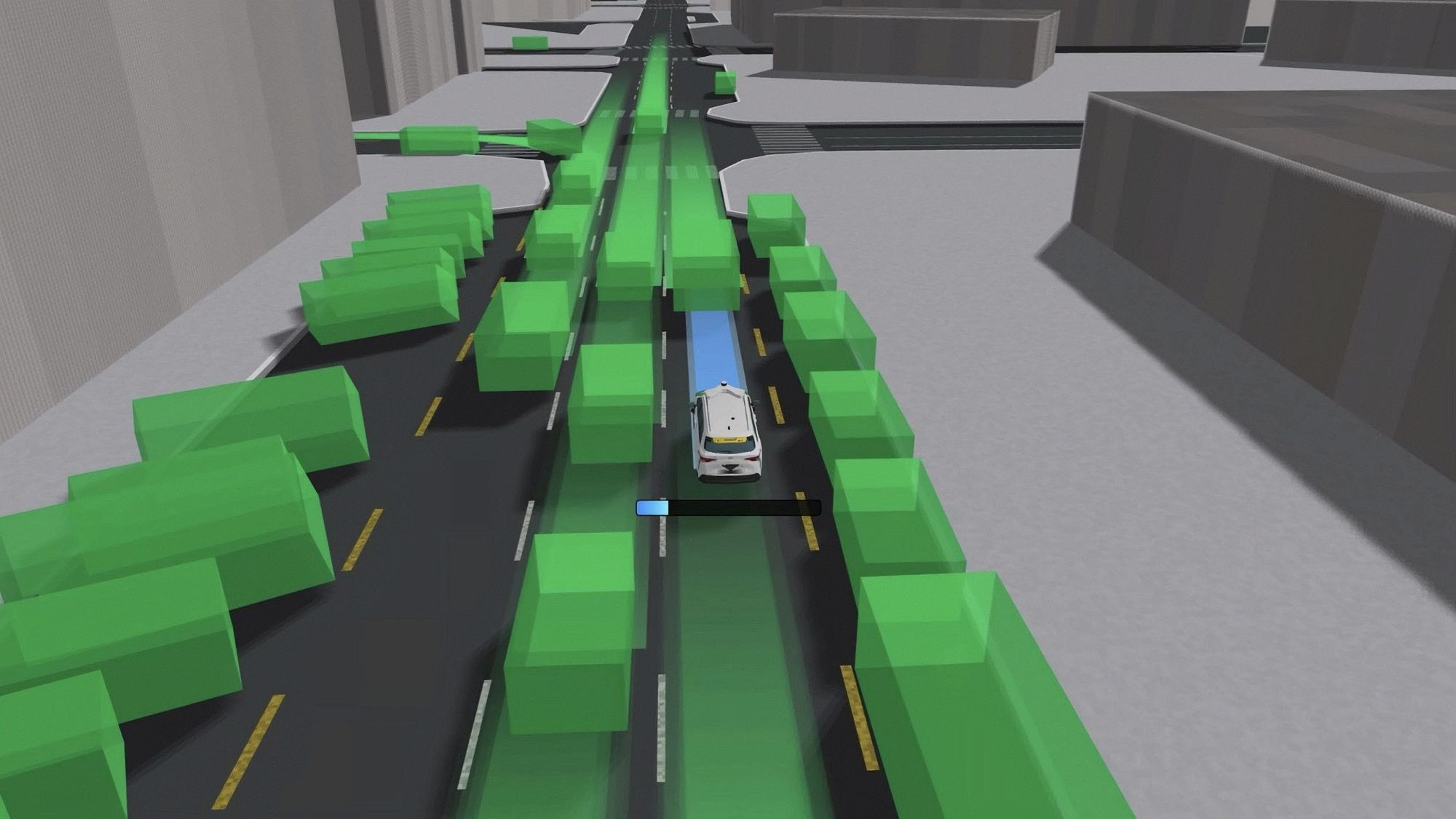
Mobility plays a major role in this approach. Whether it involves personal vehicles, dedicated fleets, or even citizens sharing information in real time, all act as mobile observation points capable of collecting data continuously or during specific measurement campaigns.
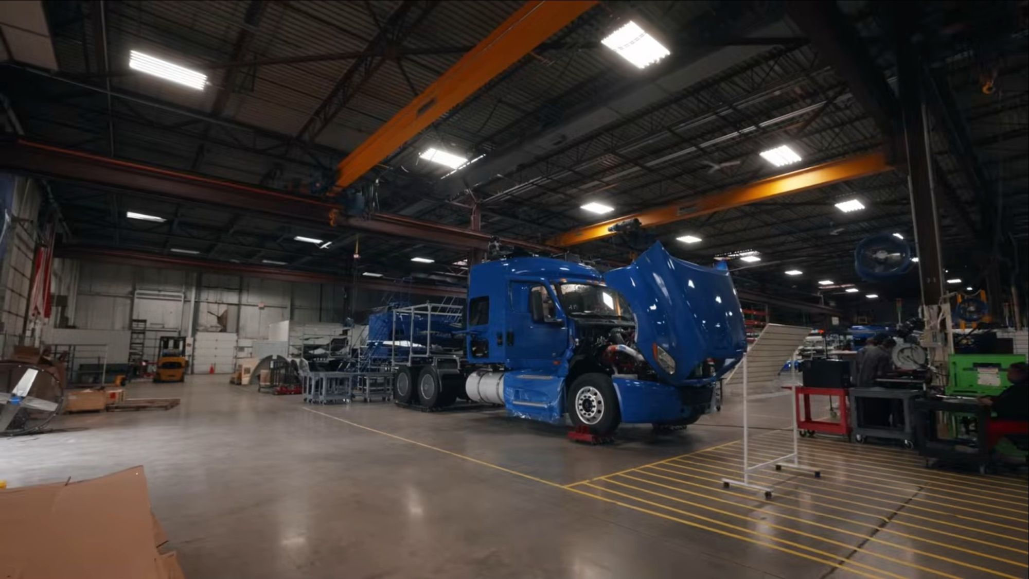
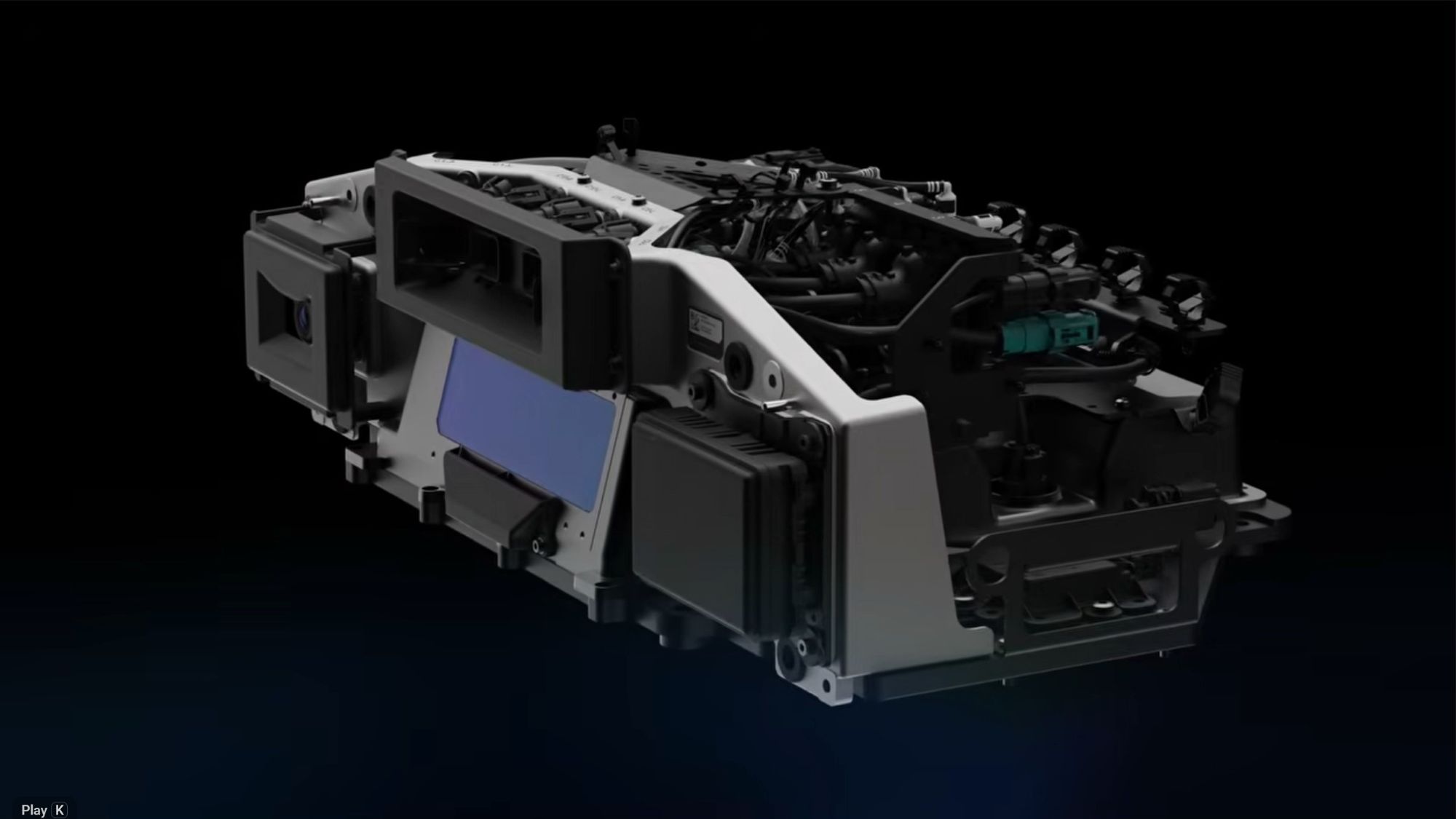
To address the challenge, Renault turned its Twingo E‑Tech electric into a state-of-the-art mobile platform. An all-electric compact vehicle at just 3.79 m (12.4 ft) long, it is particularly well suited to urban environments. The EV is able to access all parts of the city, quietly, easily, and with no carbon emissions, for discreet, continuous data collection.
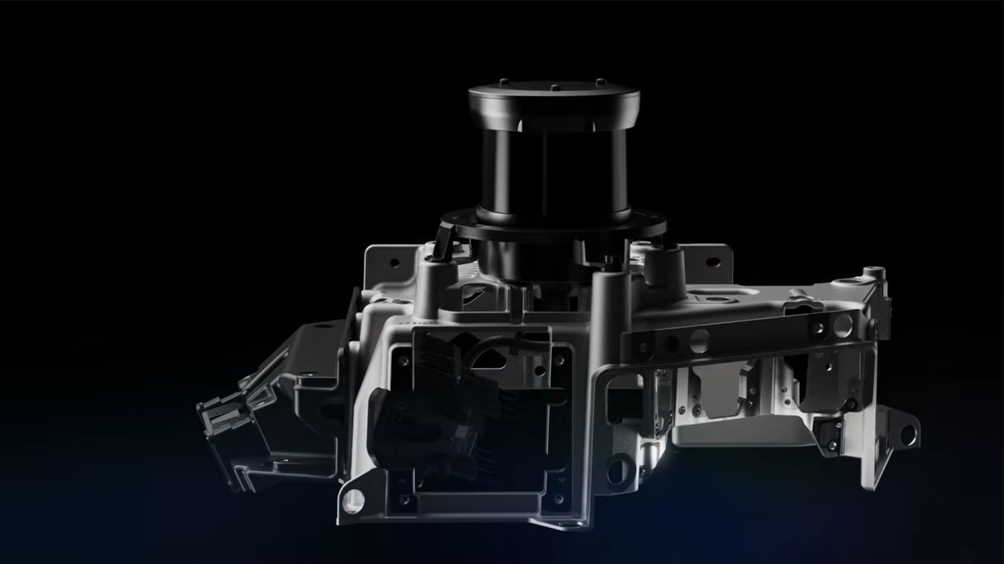
Featuring a high-tech arch housing cameras and multiple sensors for sensing issues such as pollution, noise, drought, and damage, it becomes a mobile monitoring station, able to capture many types of information on its environment in real time. The system can be complemented by the Apache (Appraisal of Pavement Acoustic CHaracteristics and Energy efficiency) technology unit co-developed with Bruitparif, the noise observatory in Ile-de-France, which analyses rolling noise to map the acoustic condition of road surfaces and enhance environmental data collected in real-world conditions.
The vehicle features a specific layout with a dedicated, modular load area designed to carry the additional equipment required for a given business activity or mission.
When combined with other sources of information, these data enable a fine, real-time, and contextualized assessment of the territory that is much faster to deploy than traditional static infrastructures.
CleveR Insights focuses on turning data into operational decisions. Harmonized within a sovereign platform, the data are presented through dynamic maps integrated into shared dashboards, facilitating the management and coordination of actions. This approach makes it possible to move from occasional observation to continuous insight, and from fragmented data to coordinated public action, thereby contributing to proactive, efficient, and sustainable territorial management.
Examples of applications are detection of road infrastructure issues like detection of degraded areas, impact zones, hazardous or noisy zones; health-related analysis of pollution and noise levels; and anticipation of drought risks in rural areas.
-

- Renault Twingo E Tech electric for CleveR Insights front side.
-

- Renault Twingo E Tech electric for CleveR Insights rear side.
-

- Renault Twingo E Tech electric in the CleveR Insights ecosystem.
-

- Renault Twingo E Tech electric for CleveR Insights pothole detection.
-

- Renault Twingo E Tech electric for CleveR Insights trash detection.
-

- Renault Twingo E Tech electric for CleveR Insights sensor array.
-

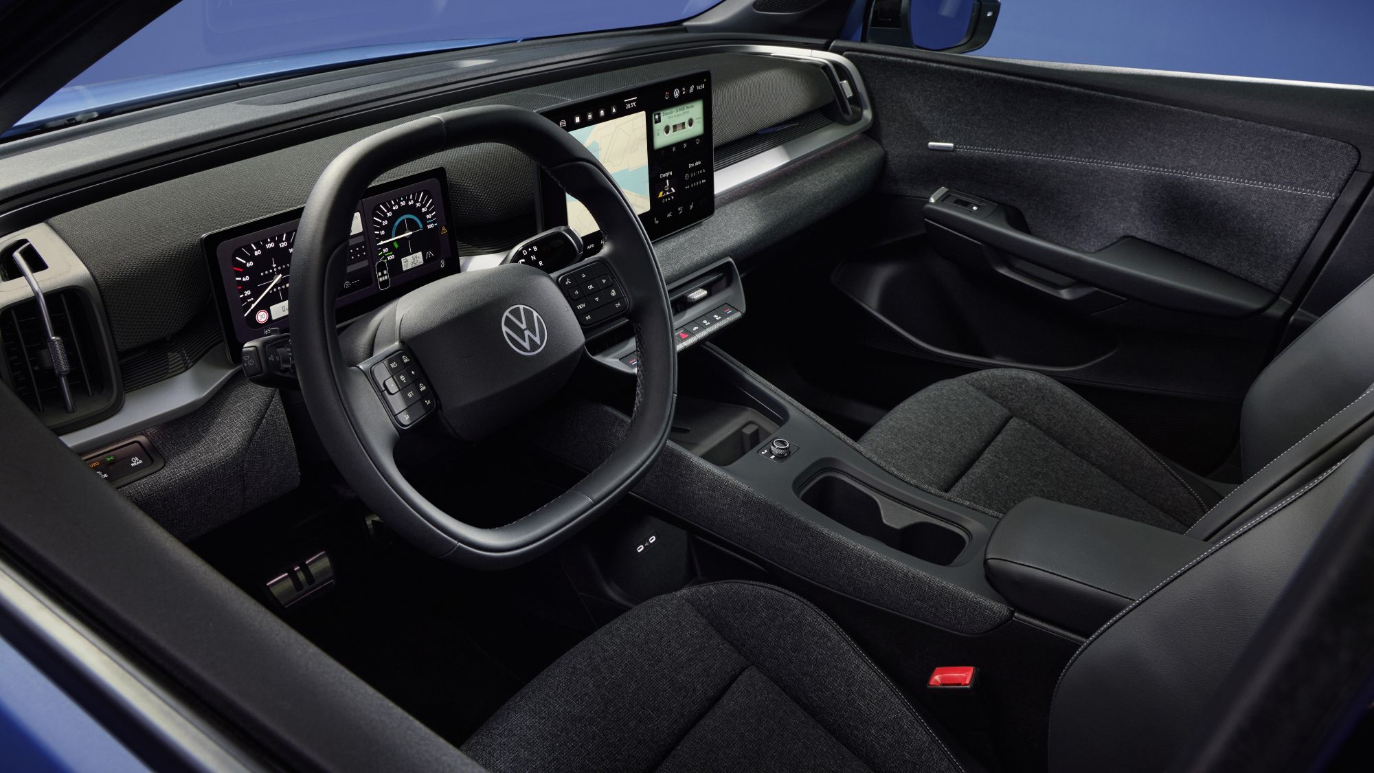
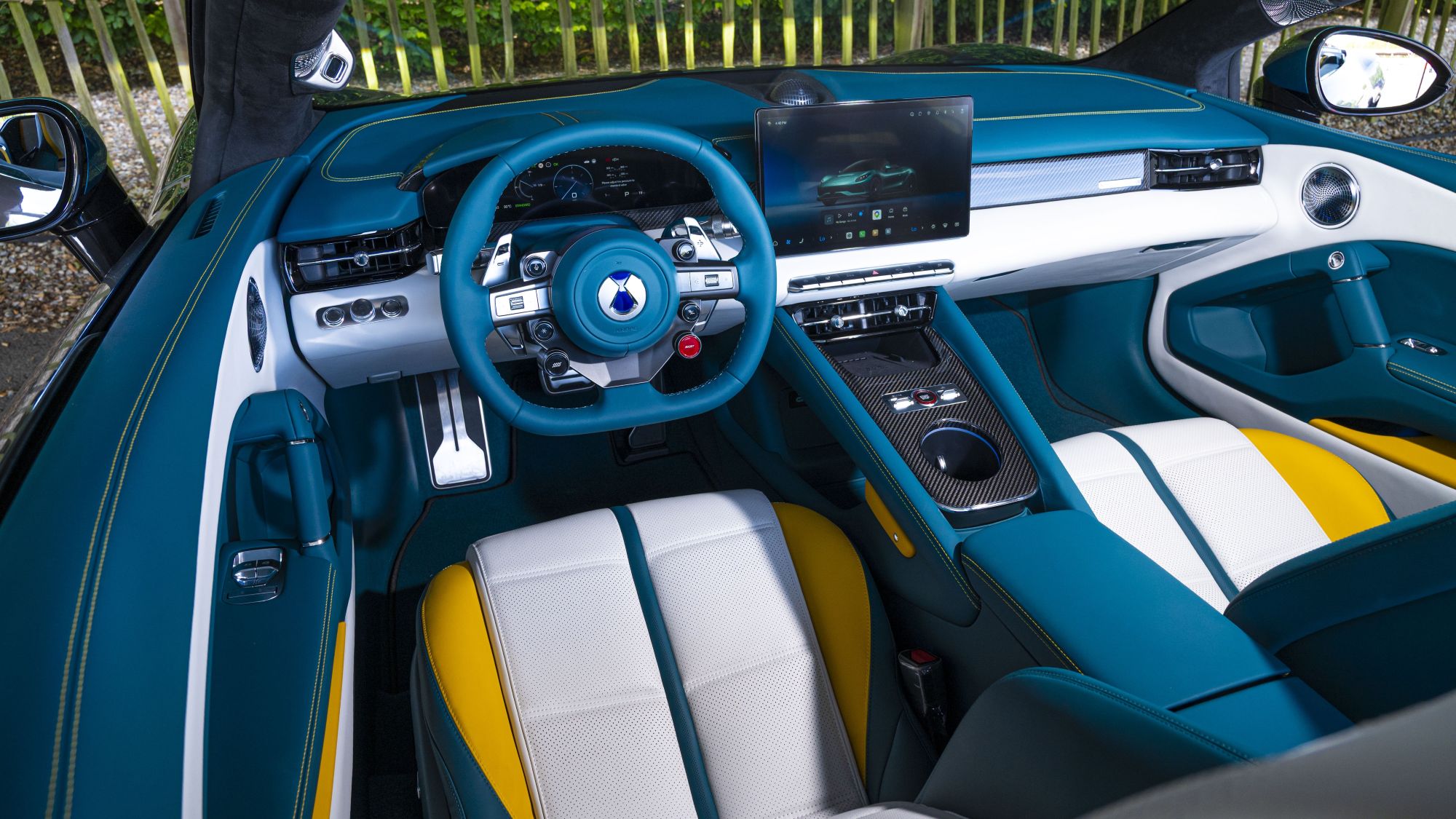
- Renault Twingo E Tech electric for CleveR Insights interior.
-

- Renault Twingo E Tech electric for CleveR Insights interior gear.


