


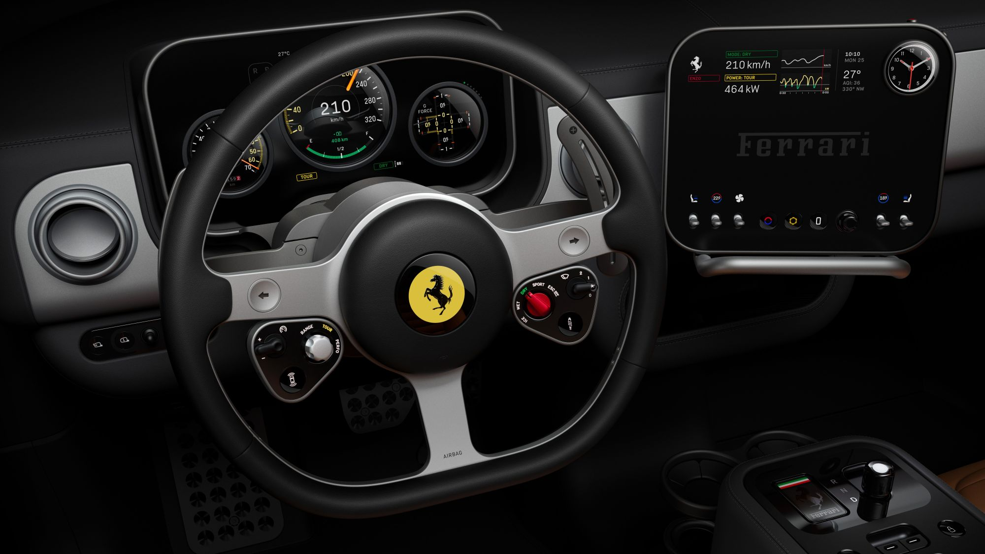
At the IAA Mobility event in Munich today, TomTom announced the launch of its new Automotive Navigation Application, a ready-to-use solution built on its Orbis Maps with an intuitive UI (user interface) layer added on top of its enhanced navigation SDK. The location technology specialist says that the integration of these components sets the application apart as an off-the-shelf solution for automakers, enabling them to roll out high-quality navigation systems quickly and efficiently while delivering improved maps and superior navigation capabilities.
In an era of software-defined vehicles, the need for rapid integration to meet market demands has never been greater, according to TomTom. Its Automotive Navigation Application design prioritizes reducing development costs and timelines while enhancing productivity, allowing automakers to focus on delivering innovative solutions to their customers.
“We have proof points that demonstrate how this product reduces development timelines from many months to just weeks,” said Manuela Locarno Ajayi, SVP for Product Engineering at TomTom. “By prioritizing the user experience and giving automakers full control and flexibility, this application not only redefines how drivers interact with their vehicles but also sets a new standard for navigation solutions in the automotive industry, making it a game changer for both users and manufacturers alike.”
The application is a quality-assured solution validated on automotive-grade hardware, with the company’s testing process including comprehensive end-to-end evaluations conducted in vehicles, providing automakers with a production-quality application ready for deployment. With the solution, automakers have an off-the-shelf navigation application, a UX library to support them in customizing their driver experience, and a vehicle integration library, enabling automakers and their integrators to connect their vehicles with the application independently through comprehensive documentation, streamlining the integration processes.
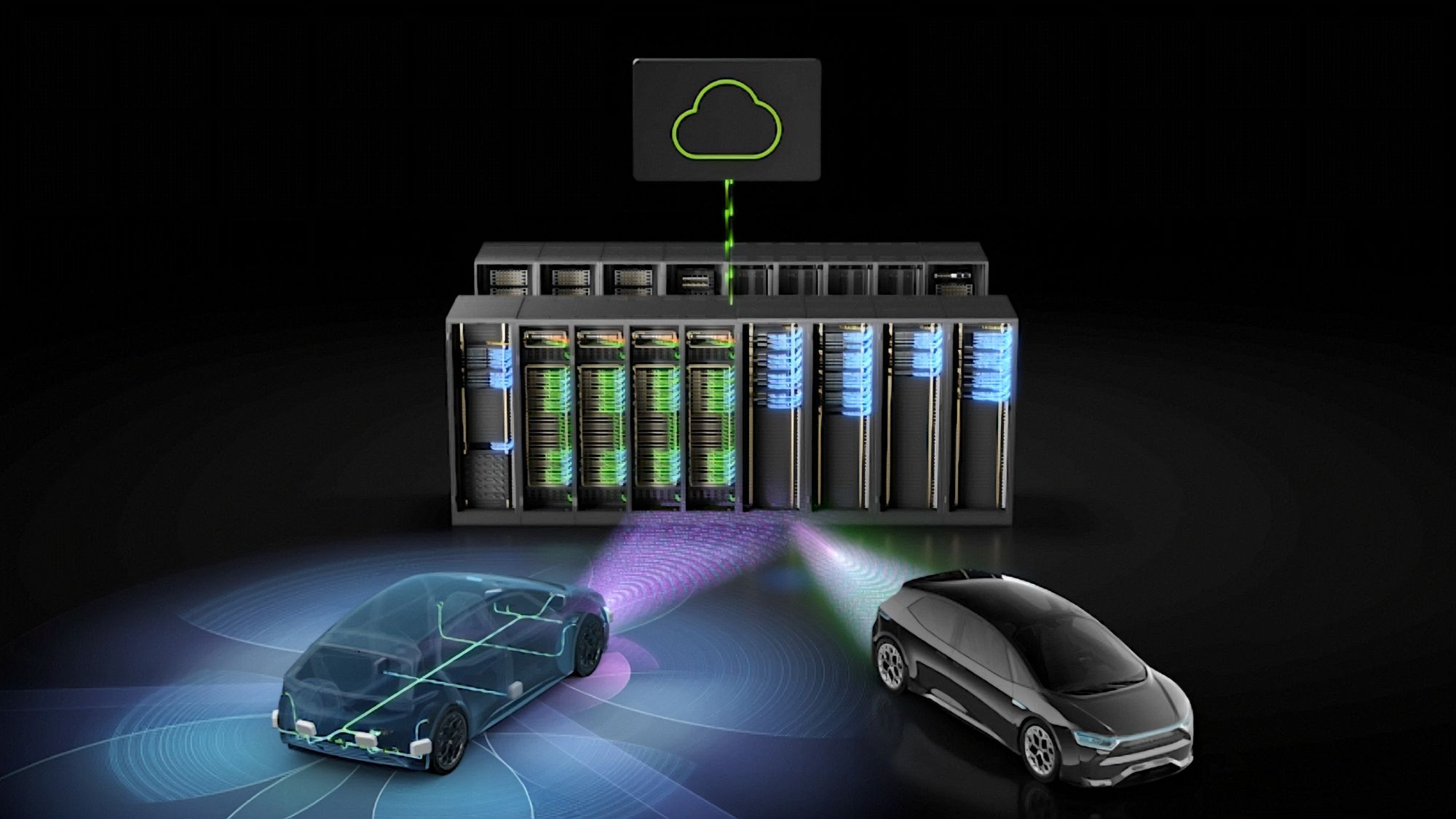
Built on TomTom Orbis Maps, the application leverages high-quality, up-to-date map data that ensures accuracy and reliability. Its dynamic caching functionality allows for continuous updates, meaning drivers are always equipped with the freshest route information.
For automakers, the application offers flexibility, allowing them to customize the navigation experience to reflect their unique brand identities. The intuitive Mapmaker tool simplifies the customization process, enabling OEMs to create distinct maps and themes without extensive development time or costs. With the new application, automakers are said to be able to increase user engagement while offering a navigation experience that surpasses conventional smartphone applications.
The use of Orbis Maps’ immersive 3D visualization and EV-optimized navigation enables better addressing of the common challenges drivers face on the road, integrating the application with the vehicle’s exact battery status to provide timely recommendations for optimal charging stops. Its charging finder enables drivers to locate charging stations tailored to their subscriptions and preferences, easing range anxiety. By incorporating advanced filters for amenities, drivers can plan their trips, ensuring they have access to everything they need along the way.
At CES 2025, TomTom announced a significant enhancement to Orbis Maps by offering immersive 3D lane geometry with “unprecedented” coverage. Expanding its lane geometry data through AI-enabled updates, it now offers lane-level precision measured in centimeters, available on a global scale, and continuously refreshed.
As the number of vehicles with automated driving continues to rise, the demand for fresh lane-level maps on all roads continues to grow. However, the hefty costs and extensive resources required up until now to produce such maps have limited their availability.
By harnessing the latest advances in AI, including fundamental vision models, Orbis Maps can now produce 3D lane geometry by merging crowdsourced observations from production vehicles and dashcams, aerial and satellite imagery, and lidar survey data. The resulting 3D map is fresh and cost-effective, featuring wide and highly detailed coverage.
Orbis Maps will enable automakers to accelerate their automation ambitions by accurately delineating every road surface and painted line and combining 3D traffic signs and other key objects with behavioral speeds and trajectories of millions of drivers. So, it better enables navigation in complex urban environments through better anticipation of complex situations such as busy intersections, high-speed junctions, and interactions with vulnerable road users.
“Our enhancements to TomTom Orbis Maps represent a transformative step in mapping technology,” said Mike Schoofs, Chief Revenue Officer at TomTom, in conjunction with CES. “This innovation not only accelerates the development of automated driving but also provides urban planners and government officials with the insights they need to create smarter, more efficient cities.”
Urban planners also benefit from greater granularity in map data, which helps them make informed decisions on lane-level traffic management, bike lane and public transport planning, and parking space optimization. In addition, last-mile logistics can be significantly improved by enabling transport companies to optimize their pickup and drop-off processes, leading to substantial time and cost savings.
-

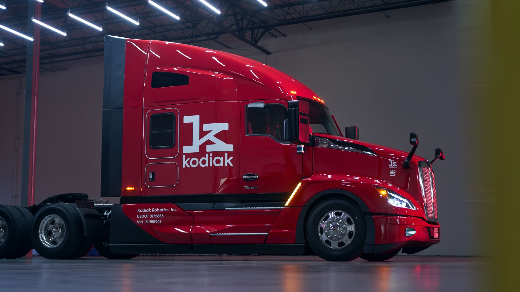
- TomTom’s new Automotive Navigation Application
-

- TomTom Orbis Maps now featuring immersive 3D lane geometry for any road.


